
The People Behind Montecito’s Roads (Part II)
Loureyro Roadis named for the family of Spanish-born José Maria Loureyro, a Basque who came to California in the 1850s. He served as president of the Santa Barbara City Board of Trustees in the 1860s and early ‘70s. In 1865 he approved an ordinance regarding the development of the streets in Santa Barbara, and in 1866, he and five partners were given a franchise to build and maintain a wharf in Ventura.
By 1871, José and his daughter Josefa had claimed a great deal of property below the confluence of Hot Springs and Cold Springs creeks, and by 1899, Josefa owned several parcels north of the county highway on the eastern edge of Montecito. José died in 1881, but Josefa continued to co-own the properties of the Masini/Ortega Adobe with her friend Josefa Lopez de Etchas until her own death in 1896.
Her will required that the property be sold and most of the proceeds be given to three cousins living in Spain. That will was contested by Josefa de Etchas, who had taken care of Josefa Loureyro during her prolonged 11-year illness. Josefa de Etchas claimed she’d been promised $2,124 for her service as cook and housekeeper, but the will had made no mention of this fact. It took years before the suit was settled and estate cleared for sale.
Most of the property was eventually sold to Anastasia M. Carpenter in 1905 and subdivided into 19 parcels lying between San Leandro Lane and the Coast Highway and along Picay Creek. Lots averaged 150×200 feet in size and $600 in price with the exception of Lot 19, which was three acres and cost $2,000. Advertisements promised broad avenues with sidewalks and a median of beautiful shade trees.
Josefa de Etchas lived on a portion of lands belonging to her until she died in 1925. Earlier, she had deeded some of that land to her sister, Bernarda Lopez de Arroqui, and her husband Juan Arroqui, another Basque but born in France. One of the roads in the Loureyro Tract is named Arroqui Lane.
Sales of the lots in the tract were slow, and may have come to a screeching halt in 1907 when oil companies expressed an interest in 12 of the lots for oil development. It came to naught, and in 1908 there was a brief spurt in sales after Mrs. Carpenter planted 2000 eucalyptus trees in the lowlands. As time went on, the lots became more and more desirable and today are filled with beautiful homes.
Interestingly, José Loureyro has two headstones for his remains – one a crypt at the Santa Barbara Mission graveyard, and the other at Calvary Cemetery — leaving us with the question, “Where in the world lies José Loureyro?”*
Hixon Road
The Hixon family first came to Montecito in 1884 where they purchased two parcels of land between San Leandro Lane and the Coast Highway. Representative of the questing, restless spirit of early-1800s farm families looking for cheap land and abundant opportunity, the Hixons began hopping ever westward from Massachusetts to Michigan to Illinois to Indiana and, finally, in 1868, to northern California.
In 1884 siblings Almira, Isadore, Mary, and George Hixon set to farming in Montecito and George also took work as a carpenter. They became charter members of El Montecito Presbyterian Church, which was officially organized on November 13, 1887. By 1915, only Mary Hixon was still alive and she started subdividing her lands into residential lots.
Mary’s will gives us sense of her character and her life. In it she writes, “I have been advised to have a lawyer write my will so that it could not be contested, but have decided to do my own writing as I never yet have heard of a will that could not be contested if anyone was enough interested to try it.” She gave her friend Anna Sharman a life’s tenancy to her home and left substantial sums to El Montecito Presbyterian Church, “as I have been interested in its work for a good many years and love it dearly.” She left only $5 to her sister Ella’s children, however, “as neither of them care at all for me or have ever been kind to me.“ The rest of her estate went to her nephew Lennie, who had continued to be kind to her in her “loneliness.”
Hixon Road lies along the eastern boundary of the former farm. Up until recently, Mary’s home was still extant, but the historic building has since been demolished.
Dinsmore Lane
When the Panic of 1857 destroyed his lumber business in Anson, Maine, Bradbury True Dinsmore was determined to recoup the family fortunes. The 50-year-old Dinsmore and several others ventured west to drive a herd of horses and cattle across country to Humboldt County. Finding the area conducive to development, he returned to Maine, farmed for a year, and then gathered his extended family and set out via Panama for Hydesville, California, in 1861. There he opened two mercantile houses and joined his son, Augustus Irving, and his son-in-law, Orchard Danforth Metcalf, in setting up a pork packing business.
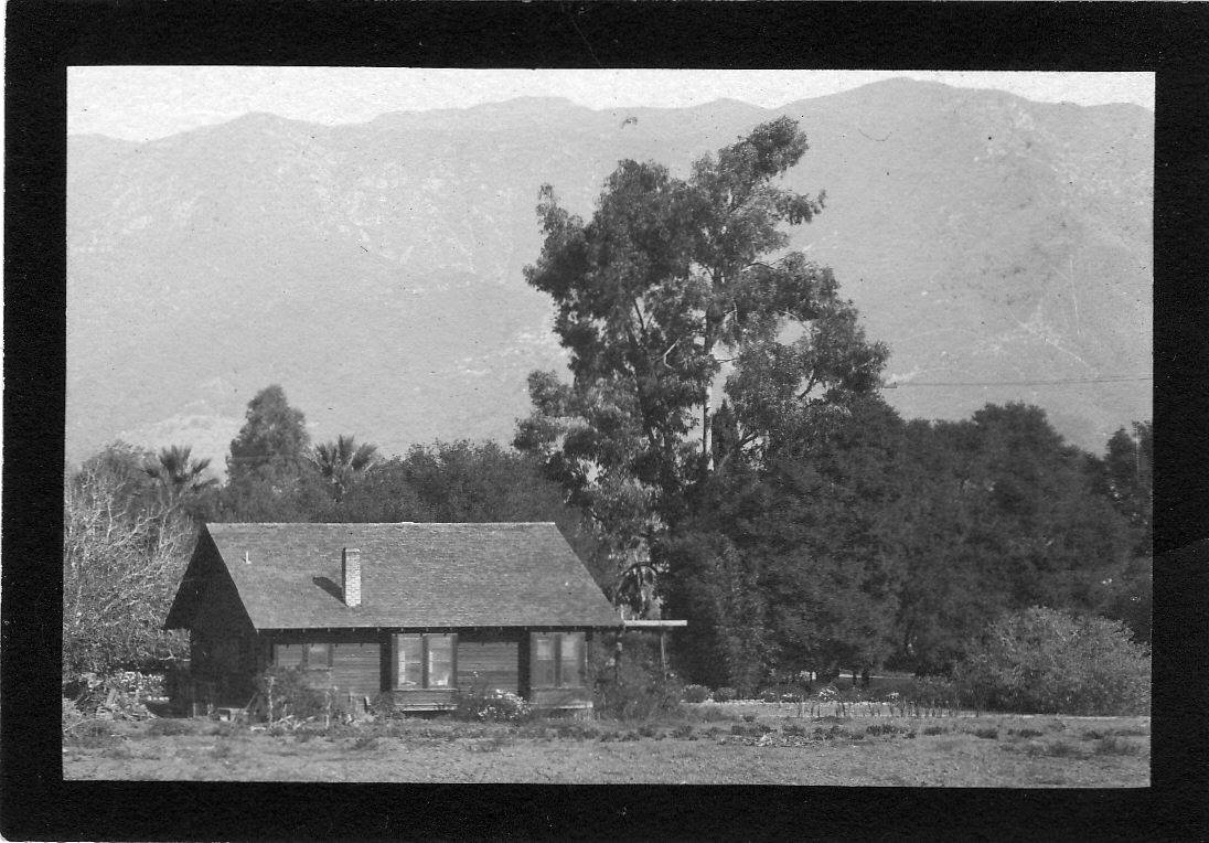
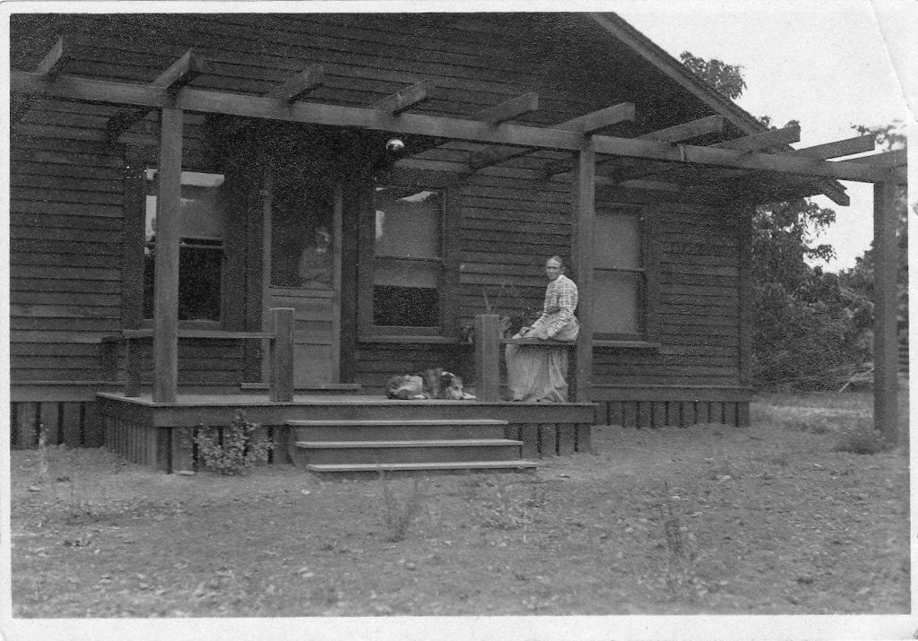
In 1863, his daughter Frances married Thomas Hosmer (Hosmer Lane) and in 1867, due to Augustus Irving’s poor health, the entire family moved to the famed health resort of Montecito. Bradbury purchased most of the land that would become the San Ysidro Ranch and moved into a one-room adobe. Augustus Irving had a house nearby off San Ysidro Road and the Metcalfs and Hosmers crowded in with them until establishing themselves elsewhere.
Bradbury, now aged 57, enthusiastically returned to farming. After scraping the land of chaparral and rocks, he planted all sorts of grain crops and hundreds of citrus trees as well as nut and stone fruit trees and exotics like figs, bananas, and pineapples. Several acres of strawberry and grape vines were planted between the rocks on the foothills.
Dinsmore’s ranch was continually lauded by visitors and the press. In 1877, the Morning Press opined, “One of the finest and most romantic pieces of property in this part of the county is that owned by Colonel Dinsmore in the Montecito. The approach to it is through a well timbered tract abounding in small game of all kinds and the road winds through it in a zig-zag fashion, every now and then disclosing to view a beautiful spot of sylvan scenery.” The visitor found the house embowered with roses and honeysuckle and the air redolent with the perfume of sweet-smelling flowers.
Colonel Bradbury T. Dinsmore died in 1881 and his lands and orchards were later sold for $10,000 to Goodrich and Johnston who formed the San Ysidro Ranch. One of the earliest American settlers in Montecito, Dinsmore was eulogized by the press as “a man of great public spirit, noted for his charity and noble works.”
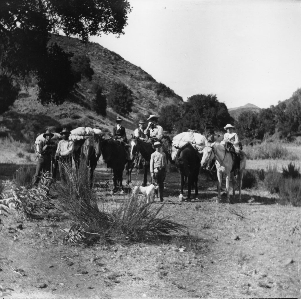
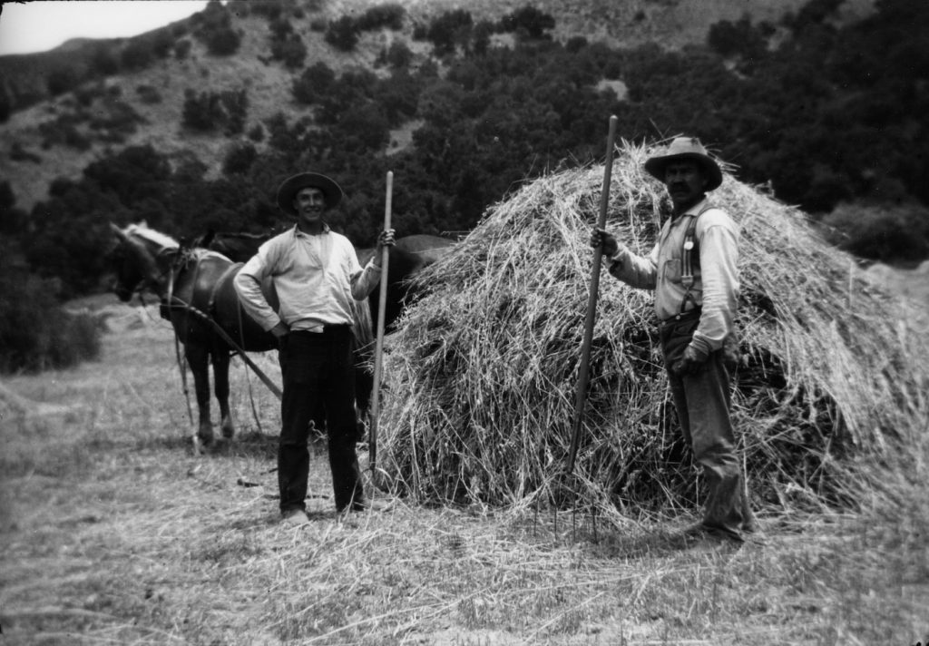
Dinsmore descendants continued to live and work in Montecito for many generations. Irving Winfield Dinsmore took over his father Augustus Irving’s 103-acre ranch on the southwest corner of Hot Springs and East Valley Road until his own death in 1899. (Dinsmore Lane lies within this former ranch.) Another son, Albert William, ran the Miramar Dairy in the 1920s and ’30s. Thomas Thorpe Dinsmore farmed for others in Montecito, and in 1905 joined the newly-formed Forest Service as an assistant ranger. His son Gus worked as a ranger for a time as well. In 1924, Thomas was elected District Supervisor for Montecito, a position he held until his death in 1943.
Stoddard Lane
Carl Stoddard came to Montecito with his parents in 1873 because of his father’s failing health. A descendent of the 1630 colonists led by Thomas Hooker to settle the Connecticut Valley, Carl’s father Henry graduated from Yale in 1856 and established a paint manufacturing business with two of his brothers. On the 43-acre parcel they purchased in Montecito on the site of today’s Cold Spring School, Henry’s health improved and he lived another thirty-five years, during which time he was appointed postmaster by President Hayes and elected county recorder.
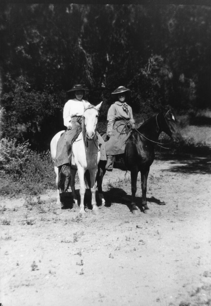
Carl Stoddard joined the new forest reserve system in 1904 and became ranger and district supervisor for the Santa Ynez Forest Reserve. (In 1938, with the merging of several other forest reserves, it became part of the Los Padres National Forest.) Carl patrolled the front and backcountry, built trails, fought fires, and made reports as to conditions in the wilderness. The stories of his backcountry adventures were often reported in the local paper.
Carl married Eslinda Romero in 1897 and was close friends with the Dinsmore family with whom he took many excursions into the mountains. In 1901, Carl acquired the San Gervasio Ranch on Mono Creek from the Hildreth brothers. Sometime after he retired from the forest service in 1914, he sold this ranch to Arthur Ogilvy and moved to Lompoc where he purchased a forty-acre ranch together with Tom Dinsmore.
* Another look at Josefa Loureyro’s 1889 will reveals that she requested she be buried in the Loureyro tomb at the Mission, but if that were not possible, then her sister Antolina and her father were to be moved to wherever she was interred. Apparently, that is Cavalry Cemetery.
(Sources: The files of the late Jim Blakley, back country historian; David Myrick’s Montecito and Santa Barbara; contemporary newspapers; Hixon family records; Schwald Family Genealogy; ancestry.com resources.)


