
More Mesa
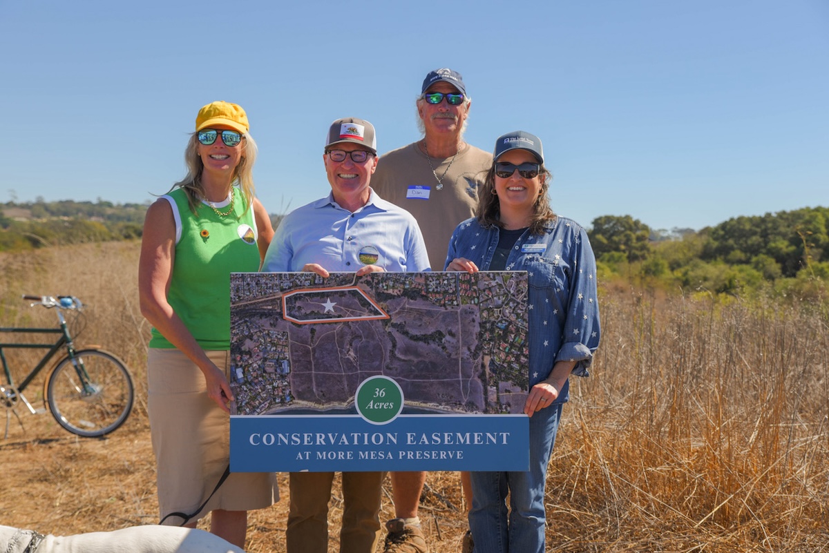
When Santa Barbara County Supervisor Laura Capps arrived at a friend’s home for dinner recently, she was asked with foreboding if there was any good news. She was happy to reply resoundingly, “Yes!” And the news was that the Land Trust for Santa Barbara County, in partnership with Santa Barbara County and the More Mesa Preservation Coalition, had established a permanent conservation easement of 36 of the 64 acres of More Mesa land owned by the County. (Approximately 260 acres of the open space are still privately owned.)
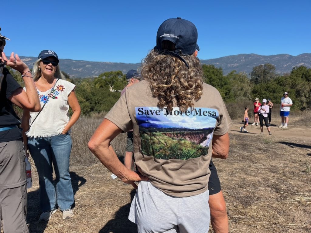
At the dedication ceremony on Saturday, October 12, Dan Gira, vice-president of the More Mesa Preservation Coalition expressed appreciation for the collaborative effort. The Coalition considers the easement an important step in protecting the entire 325-acre open space for both recreation and protection of vital habitats for sensitive species of animals and plants.
“This easement safeguards sensitive coastal ecosystems and strengthens the ecological health of the region for generations to come,” said Meredith Hendricks, executive director of the Land Trust. In addition, Fisher Perez, chair of the Land Trust Board of Directors, emphasized the importance of providing outdoor space where people can walk and reflect in a peaceful environment to restore a sense of well-being to their lives.
To top it off, More Mesa open space is also all that remains of a historic Mexican Land Grant that has a fascinating history dating back more than 200 years.
The History of La Goleta
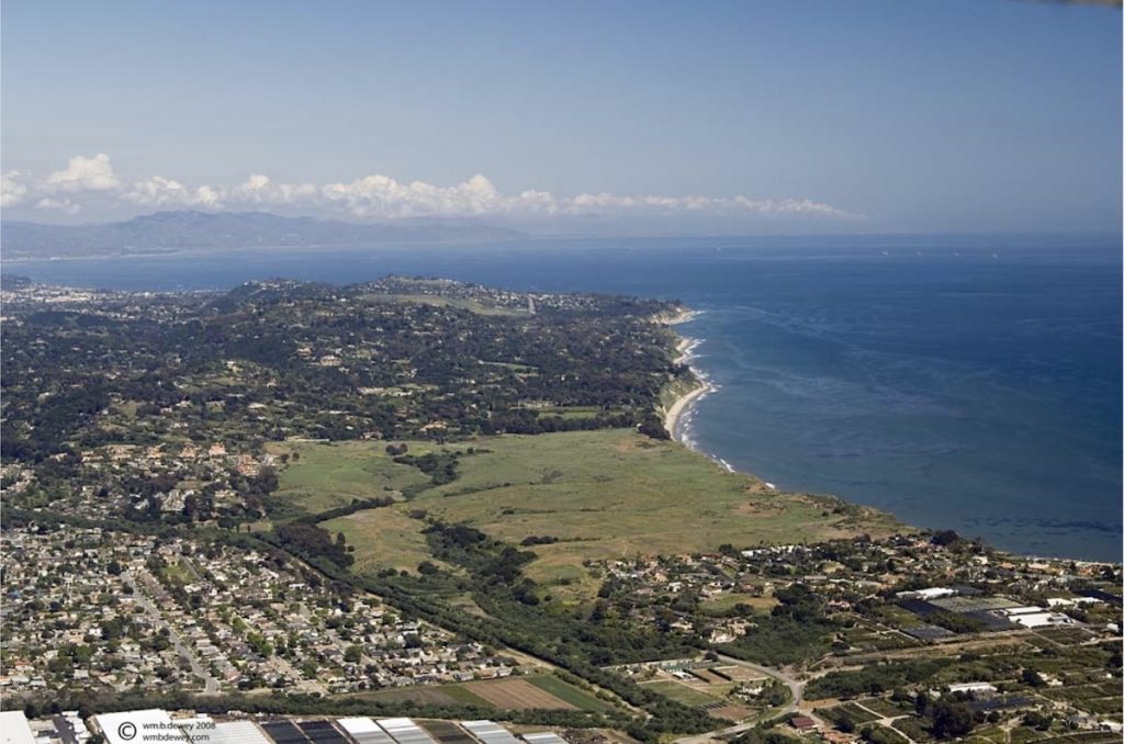
The lands of today’s More Mesa, like most of the Santa Barbara coast, were occupied by the Chumash before the advent of the Spanish, who established a presidio in 1782 and a mission in 1786. After Mexico won its independence from Spain in 1821, the vast lands of Santa Barbara missions were granted to prominent Mexican citizens.
La Goleta was a Mexican Land Grant of 4,426 acres that was deeded to Daniel Hill in 1846 by Governor Pio Pico and confirmed by the American courts in 1864. Hill was an early American settler in Santa Barbara, having jumped ship at Refugio Bay in 1823 after espying the beautiful daughter of Don José Francisco Ortega: 14-year-old Rafaela Ortega.
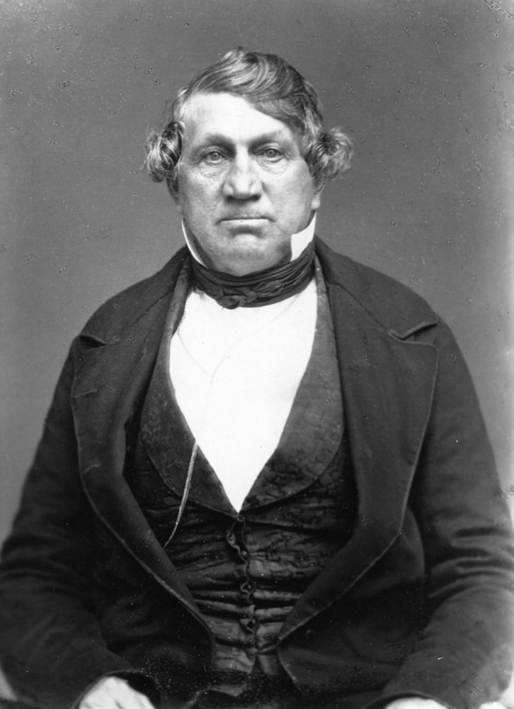
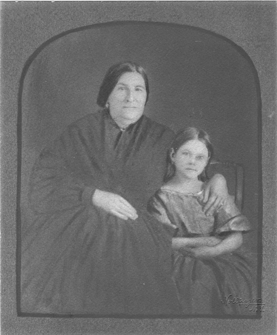
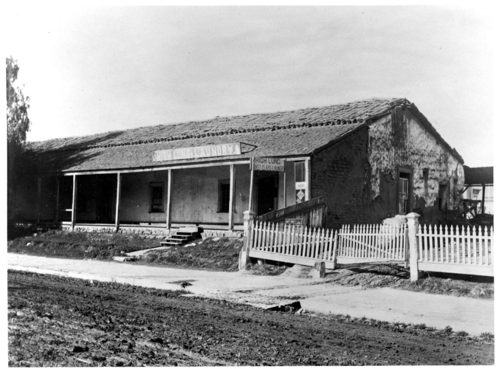
Daniel, a skilled carpenter and stone mason, set about finding work, any kind of work, while he waited for the lovely Ortega daughter to reach the marriageable age of 16. He opened a mercantile store, made soap, and worked as majordomo for the Mission padres, supervising farming, blacksmithing and construction. He built adobes with wooden floors, eschewing the traditional dirt floors coated with oxblood. In his spare time, he hied to Refugio to court Rafaela. By the end of two years, he had learned Spanish and “abjured his Presbyterian errors” to convert to Catholicism. The two were married in 1825 and lived in the adobe home he constructed, which still stands today at 11 East Carrillo Street. In 1846, he received his grant.
Life was good and Daniel and Rafaela produced 15 children. But then, in 1861, devastating rains caused flooding which drowned most of his cattle. Many more perished during the drought of 1864, and a plague of grasshoppers ate his sparse crops. Hill needed money and sold 1,300 acres of his lands to Thomas Wallace More, his son-in-law. A few years later, More acquired another 1000 acres of the ranch.
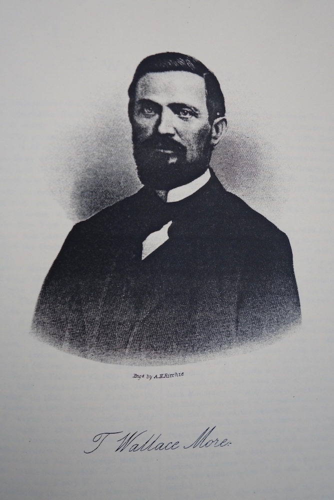
T Wallace More and two of his brothers had come to California in 1849. In 1850, they drove cattle from Southern California to the miners in the north. They realized an enormous profit with which they began buying up land grants and other parcels of land throughout the state. In 1853 More married Susanna, Daniel Hill’s daughter. More also began a small commercial asphaltum mine at the base the mesa at La Goleta. He was already a wealthy man in 1864 when he purchased and established a portion of the rancho on the bluffs.
In 1874, with asphaltum going for $12 to $20 a ton, he built a pier and used it to ship his asphaltum north. It is said that the streets of San Francisco were paved with More’s asphalt. The added benefit of having a pier was that he could now ship his farm products and cattle as well as asphalt. According to the June 1877 Morning Press, that year he had 2,000 acres under cultivation with beans, corn, hay, wheat, barley squash and grain. Another hundred acres were reserved for pastureland and 160 acres were preserved as timber land.
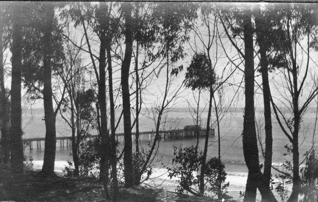
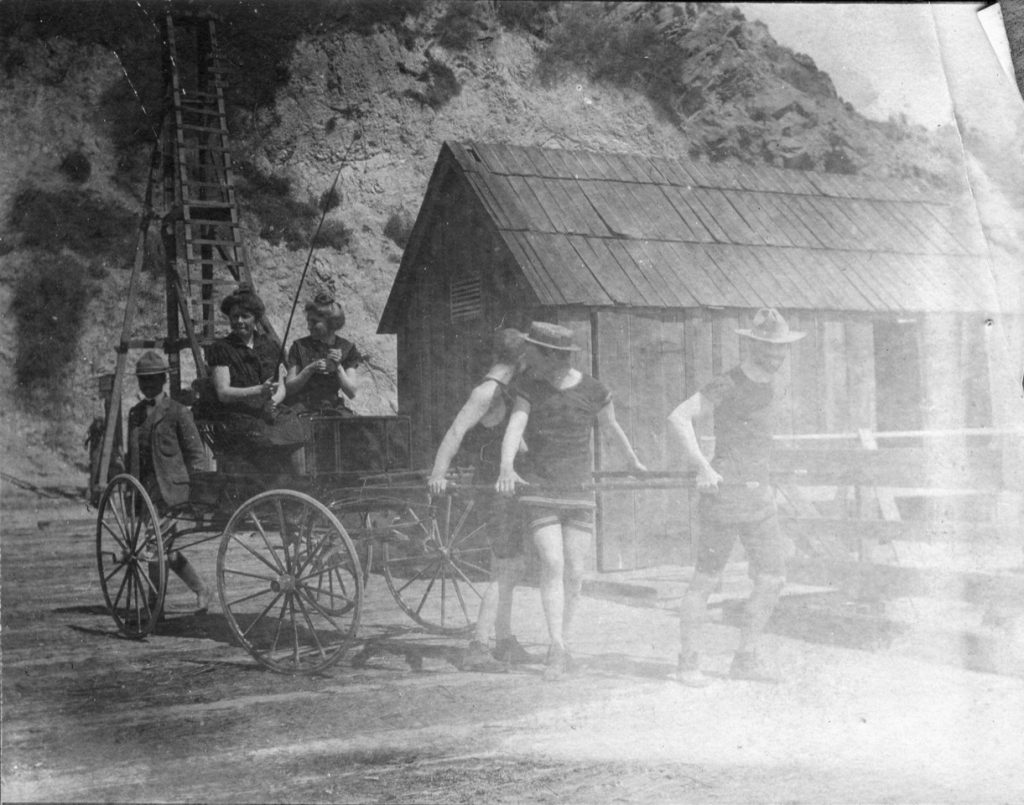
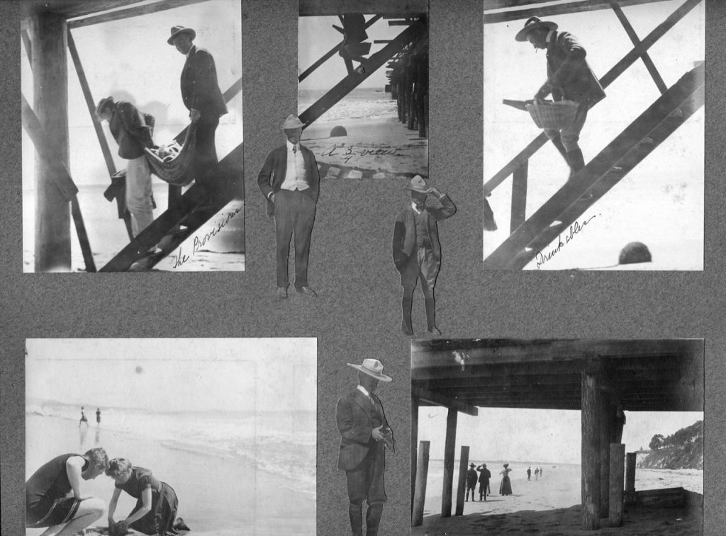
More’s landing became a major port for his neighbors, as well, though More would not live long to enjoy it himself. He was shot to death later that same year at his Sespe Ranch when squatters on his property murdered him over their perceived rights to remain on the property. The Goleta ranch then passed to his brother, John Faxon More, who continued to operate the landing. There being no wharfinger (wharf manager) at night, incoming boats would blow their whistles and ranch hands would hitch up the equine “Old Mike” and drive to the landing. Old Mike apparently had a mind of his own and often decided to return to the barn where dinner and his bed awaited, stranding the ranch hands at the pier.
The 1883 History of Santa Barbara County by Thompson and West described More’s Ranch in glowing terms, saying that it was famous for its beautiful situation. “The bottomland is sheltered from the sea by the mesa or tableland, which here rises to a sufficient height above the sea to afford a fine view of the whole Patera, the view extending to Glen Annie and Ellwood towards the west with every canyon and ridge of the Santa Barbara Mountains intensely outlined towards the north. On this place are some of the remarkable mud springs that have puzzled the naturalist. They throw out quantities of sediment, which forms a rich, black soil. It is said curious Russian coins a hundred years old have been found there.”
The photo of the More Ranch in 1938 shows the landscape still predominated by fields and farms, though oil and gas concerns had earlier dotted the landscape. (Courtesy UCSB aerial photograph collection)
Racing Toward 2025
In August 1887, the railroad from Los Angeles reached Santa Barbara and a great celebration was held. The Chinese workers did not stop building, however, but continued grading, cutting, and laying track to the north. By the end of October, track had been laid as far as J. F. More’s ranch house.
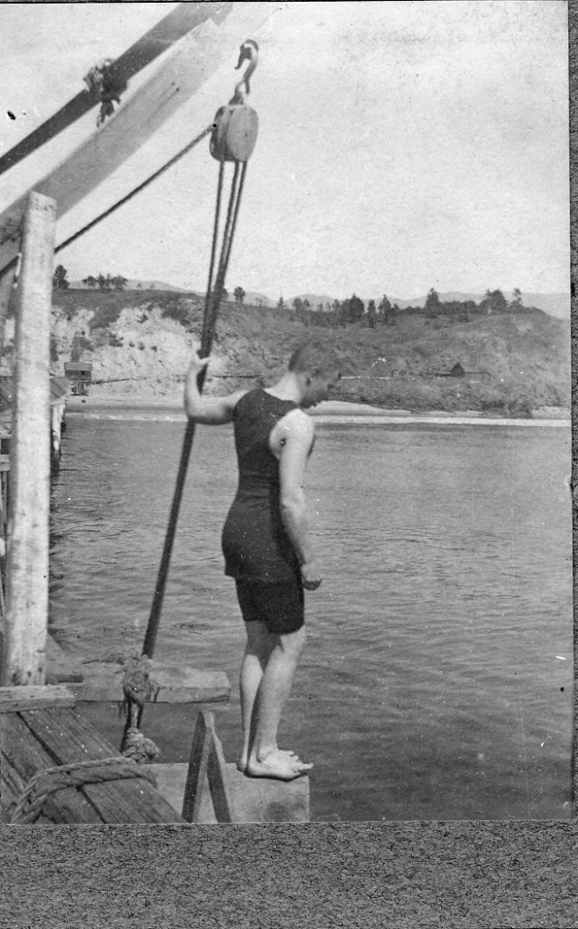
In the 1890s, the beach at J. F. More’s wharf had become a favorite place for picnickers, bathers, and campers. In 1897, he built a dressing room at the wharf with steps leading to the sand. In 1900, with the completion of the railroad from the north approaching, the track through his ranch was torn up and moved. The following year, various parties received permission to look into sinking oil wells on More’s farm, though asphaltum continued to be mined.
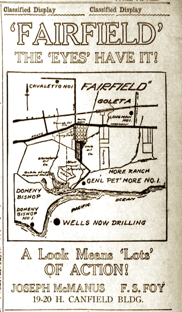
John F More, Sr. died in 1919. Soon thereafter, John F. More Jr. renounced his father’s generosity to beach goers and put up no trespassing signs. He began selling off portions of the ranch. Meanwhile the oil companies returned and began leasing and buying ranch land for oil production but found gas to be more plentiful. These activities continued through the 1940s.
After WWII, Santa Barbara was assaulted by a housing boom. Farmland and open space disappeared as suburban tracts proliferated at a voracious rate. What remains of rural and open land in Goleta is miniscule compared to the landscape of 80 years ago. Many citizens are concerned that with the current population and rapidly increasing density, it has become crucial that this tiny portion of an historic Mexican Land grant remain as open space so that the dwindling species of flora and fauna of a bygone day can be preserved, and so humans can experience the intrinsic benefits of the great outdoors.
Kudos to the work and efforts of the County of Santa Barbara, The Land Trust for Santa Barbara County and the More Mesa Preservation Coalition for succeeding in protecting this first section of More Mesa Open Space through the granting of a conservation easement.
(Sources not mentioned in text: contemporary newspaper reports; moremesa.org and handbook; Avina-list of Land Grants in Santa Barbara County; Tompkins – Santa Barbara History Makers; Tom Modugno’s Goleta History website)
You might also be interested in...



You must be logged in to post a comment.