
New Debris Flow/Evacuation Map
This week, Santa Barbara County Office of Emergency Services will release a new evacuation and debris flow map to help get Montecito residents prepared for the rainy season. “Our team has been very reflective over the spring and summer, and we’ve arrived at this place to be able to give the public ample time before the winter storms to prepare,” said OEM director Rob Lewin, who gave us an exclusive look at the map recently.
Gone are the days of “mandatory” and “voluntary” evacuation zones: the new map is based on last year’s Debris Flow Risk Map, which categorized the majority of Montecito into ominous “red and yellow” areas, indicating “extreme risk” and “high-risk” zones prone to debris flow and flooding. That map was used earlier this year in March, with red areas placed under a Mandatory Evacuation Order and yellow areas under a Recommended Evacuation Order.
Through countless meetings with scientists and the Storm Risk Team – which includes representatives from the County, the cities of Santa Barbara and Carpinteria, Montecito Fire Protection District, Carp/Summerland Fire District, County Flood Control, County Fire Protection District, and others – the map no longer includes yellow areas; those formerly in the yellow zones will not be asked to evacuate this winter. “We will be evacuating fewer people, less often,” Lewin said. Properties in the “red” zone will be under an Evacuation Order when necessary.
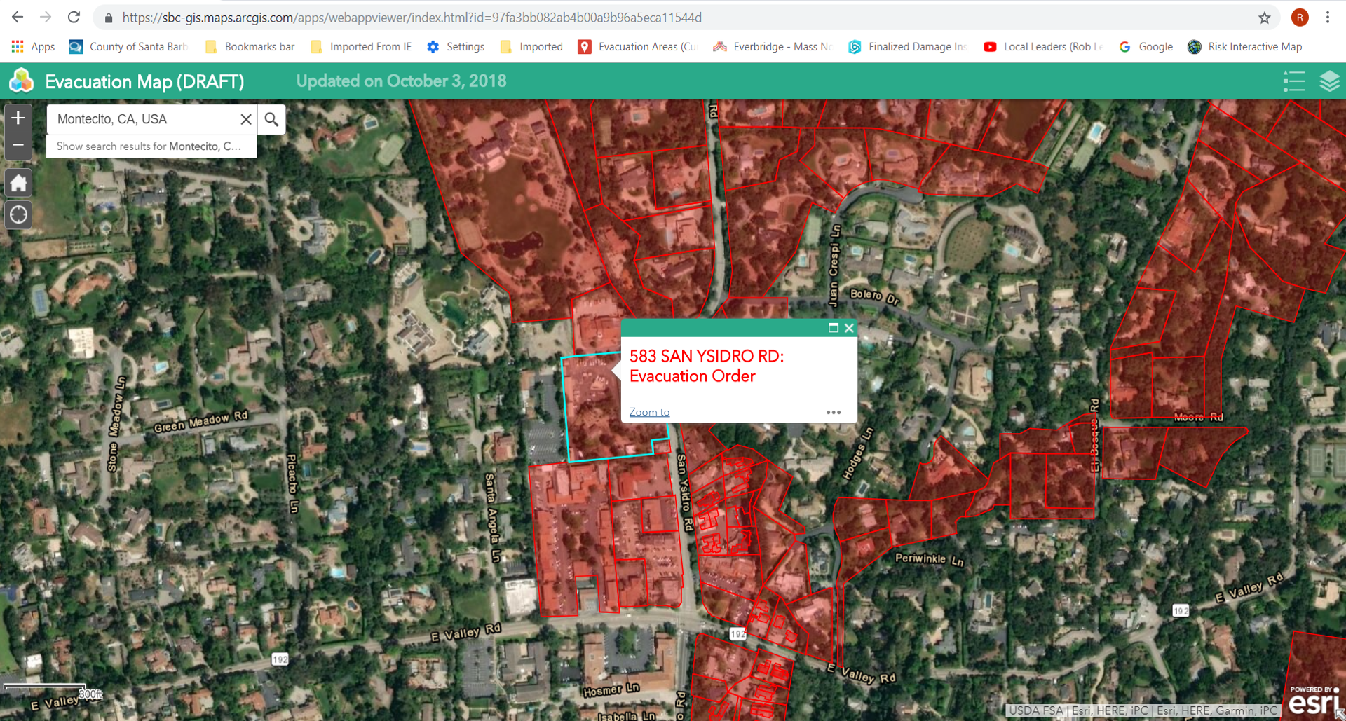
The new map alters the red area by drilling it down to parcels; meaning that an entire property will be in or out of the risk zone, leaving less room for confusion on whether a homeowner should leave during an evacuation. There are 2,496 parcels located in the evacuation zone, which is nearly half of the roughly 5,000 parcels in Montecito. The interactive map will allow users to type in their address, and if their parcel is located in the red zone, it will be clear that the property is under evacuation. This area was determined in part by the watershed emergency response team, who used Lidar data and topography post-January 9 debris flow to determine where both high-energy and low-energy debris flow is likely to occur.
The County has also revised both the evacuation threshold as well as the plan that will be followed during predicted storms. The evacuation threshold has been increased from .5-inch of predicted rain per hour to .8-inch of predicted rain per hour. For perspective: the burst of rain that caused the January 9 debris flow was .54 inches in five minutes, which is the equivalent to more than 6 inches in an hour. Lewin explained that the Forest Service has been carefully surveying the hills for vegetation to inform the rain threshold for evacuation. “The mountains healed better than we thought, but there is not enough coverage to avoid a debris flow,” he said.
The new plan the County is rolling out is called Ready, Set, Go, and outlines specific actions to take place in the days leading up to a predicted storm. Ready: 72 hours to 48 hours before a predicted storm, a Weather Advisory will be issued alerting residents to start preparing. Residents should closely monitor the situation and begin determining what they will need and where they will go during an evacuation. They should also prepare their home with sandbags and other mitigation measures; Set: An Evacuation Warning will be issued 48 to 24 hours before a storm. This is the time for residents to arrange transportation, confirm evacuation plans, gather necessary items, and be ready to leave; and Go: 24 hours or fewer before the storm, authorities will issue an Evacuation Order, and residents in the evacuation zone should leave. “We can’t stress enough how important it is for every family to have a plan,” Lewin said.
Those residents who are not in the evacuation zone are not expected to leave during a predicted storm, but they should know that there is a chance they will be isolated and without utilities. “We are prepared to mobilize resources to help get people out of those areas, should the need arise,” Lewin said, adding that the goal of the County was to reduce the number of people that need to be evacuated. Residents who are not in the evacuation zone should be prepared with two weeks’ worth of water, food, and medication.
Aside from predicted storms, the County is urging all residents to be prepared for a “Rogue Storm,” which can develop quickly and occur with little to no warning. Planning includes knowing where to go to higher ground, whether it be to a neighbor’s house or on a second story. “Everybody needs to look at their own situation and take action barring no warnings,” Lewin said. It’s most likely that in this type of storm, the County will issue a WEA (Wireless Emergency Alert) message, which pings all cell phones and does not require notification enrollment, followed by alerting using all available methods.
The County and local authorities will continue to use a variety of methods for notification this winter, including door-to-door knocking, Aware & Prepare alerts, social and traditional media, and WEA messages. Lewin said it is imperative that all residents sign up for notifications using Aware & Prepare, which can be found at www.readysbc.org.
Later this winter, the County intends on releasing yet another new map that is currently being developed with help from FEMA. We’ll have more on that map in November.
For more information about Emergency Preparedness, and to get a look at the new map, you are invited to attend one of two community meetings. The first is Thursday, October 25, at Montecito Union School, 385 San Ysidro Road. A second meeting will be held in Carpinteria on Monday, October 29, at the Veterans Memorial Building, 941 Walnut Avenue in Carpinteria. The meetings will broadcast live on Facebook at “countyofsb” and on YouTube at www.youtube.com/user/CSBTV20.
The new map will be available on Thursday, October 25, at www.readysbc.org. For those who do not have access to the Internet, call 211 for information on your specific parcel.
You might also be interested in...


