
New Rain Gauges
In the aftermath of the Thomas Fire and 1/9 debris flow, the Santa Barbara County Flood Control District installed six additional real-time rain gauges to provide enhanced rainfall monitoring for the impacted areas. In cooperation with the National Parks Service, three new high-tech gauges were installed at weather monitoring stations on the Channel Islands, located at Anacapa, Santa Cruz, and Santa Rosa islands. These gauges electronically dispatch storm information to the National Weather Service (NWS) and are vital in giving advance warning of the direction and intensity of storms approaching south Santa Barbara County.
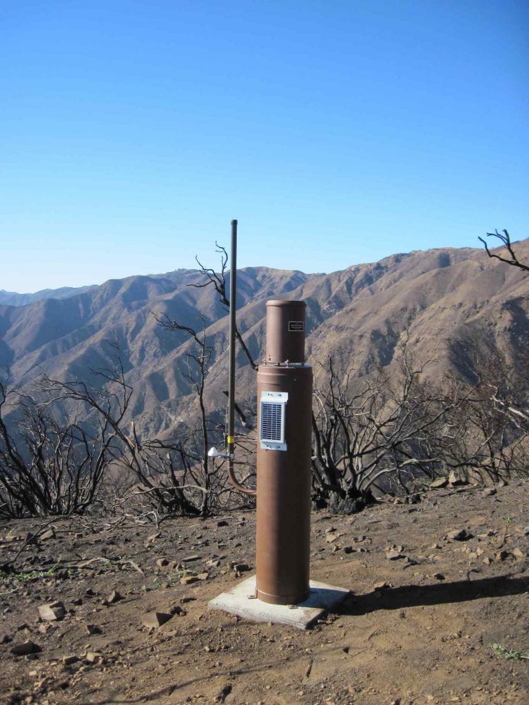
To improve the NWS’s ability to predict the location and intensity of local rainfalls, three additional gauges have been installed in the watersheds above Montecito. With such a large geographic area at risk from future storms, the pinpointing of rainfall patterns will provide valuable feedback to the NWS as they work to make their advance predictions more accurate.
“These rain gauges will improve the ability of the National Weather Service to have more accurate modeling and therefore better predictions,” says Rob Lewin, director of the County’s Office of Emergency Management. There are now 95 gauges countywide that transmit data to the NWS in real-time. The system enhancements are a collaborative effort between the County’s Flood Control District, the NWS, the National Parks Service, and the California Geological Survey.


